Software & Web Development

Data Science & Robotics Development

Calc LLC provide high quality services at very competitive rate

Early May 2026 U.S. Ag Weather Outlook and Field Guidance

Early May 2026 U.S. Ag Weather Outlook and Field Guidance

Early May U.S. ag weather remains variable: scattered, brief storms across Plains, Corn Belt, and Mid-South amid warm, humid South; mostly dry California and Desert Southwest; periodic light precip Pacific Northwest. Expect alternating fieldwork windows with breezy days; localized severe, flooding, and fire risks; monitor disease, irrigation, and heat stress.

Weather
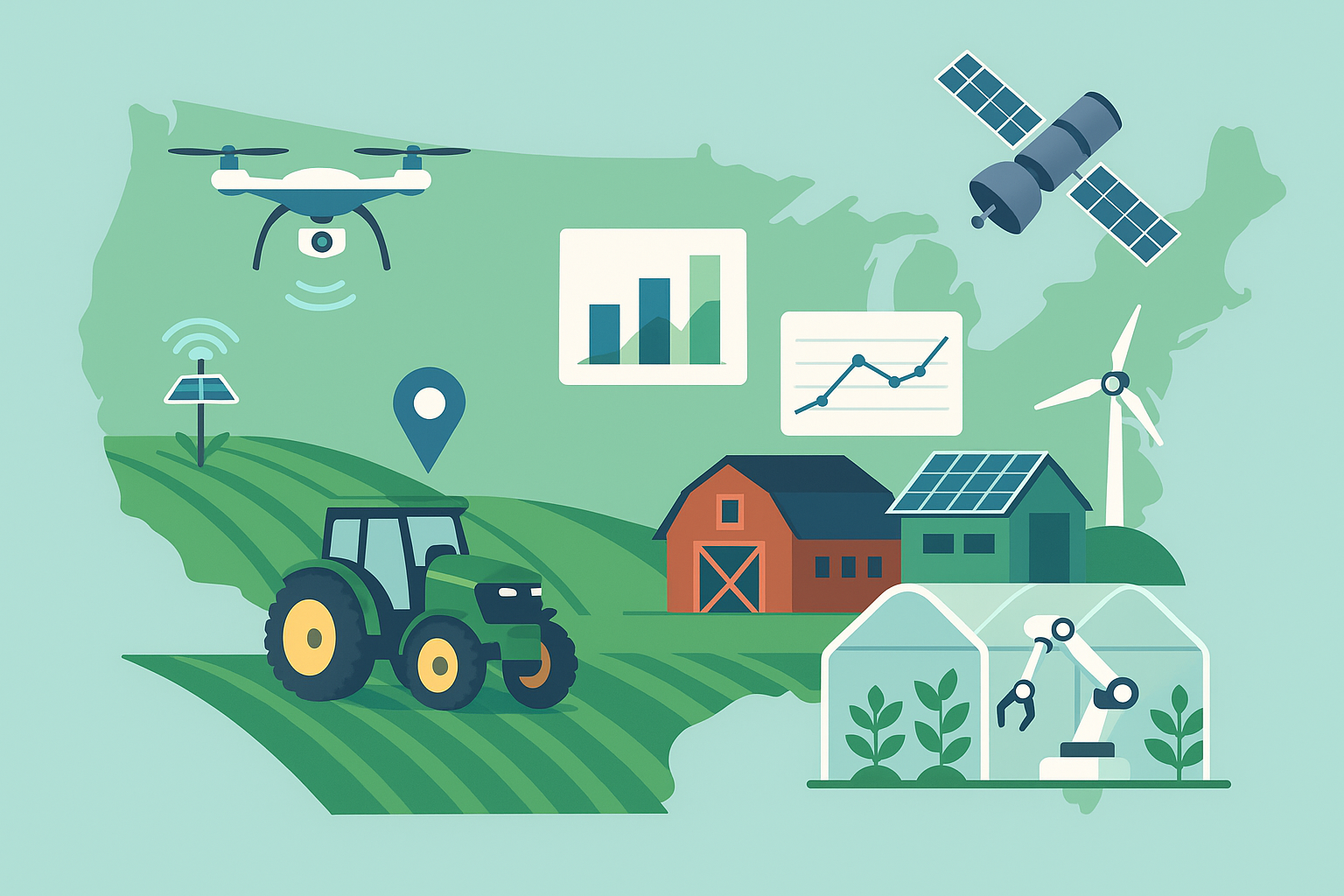
Cold Plasma Comes to the Farm: Cleaner Seeds, Safer Produce, and Nitrogen from Air

Cold plasma, a room-temperature ionized gas, offers farms residue-free seed priming and sanitization, produce disinfection, plasma-activated water, and on-site nitrate production from air. Benefits include reduced chemicals, water, and logistics; modular, renewable-ready hardware. Success depends on dose control, uniform exposure, energy efficiency, and validation, with smarter, integrated systems improving ROI.

Tech

Quiet Moves, Big Stakes: Incremental Budget and Rulemaking Steps Are Steering U.S. Agriculture This Week

U.S. ag policy saw positioning, not headlines, across budgets, USDA/EPA rules, biofuels credits, labor, water, and interstate standards. Stakeholders pressed for clarity on timelines, funding, and compliance. Expect incremental notices and guidance shaping planting, contracts, and investments; monitor pesticide/ESA, animal health, and trade risks as appropriations and rulemakings advance.

Politics
Mid-October U.S. Agricultural Weather Outlook: Fast-Moving Fronts, Patchy Frost, and Harvest Windows

Mid-October U.S. Agricultural Weather Outlook: Fast-Moving Fronts, Patchy Frost, and Harvest Windows

Mid-October brings quick fronts across the northern U.S., breezy drying behind, and lingering warmth/humidity south. The Pacific Northwest turns wetter while California and the Southwest stay mostly dry. Expect intermittent light showers, patchy frost/freeze in northern/high valleys, variable winds, brief fire-weather episodes, and good harvest windows 12–36 hours post-front.

Mid-October U.S. Ag Weather Outlook: Harvest-Friendly Windows, Northern Showers and Expanding Frost, South Mostly Dry

Mid-October U.S. Ag Weather Outlook: Harvest-Friendly Windows, Northern Showers and Expanding Frost, South Mostly Dry

A progressive mid-October pattern brings alternating fronts: periodic showers across the Pacific Northwest, Northern Rockies/Plains, and Upper Midwest, while the southern tier stays mostly dry and warm. Frost/freeze threats expand southward; fire weather episodically elevates in the Southwest/SoCal. Harvest windows remain broadly favorable with brief, windy, showery interruptions.

U.S. Farm Weather Outlook: Favorable Harvest Windows, PNW Showers, and Patchy Frost Risk

U.S. Farm Weather Outlook: Favorable Harvest Windows, PNW Showers, and Patchy Frost Risk

U.S. farm weather stayed mostly favorable, with dry or light, brief showers and breezy fronts mainly across northern regions. The Pacific Northwest turns periodically wet; California and the Southwest remain dry. Next week features quick disturbances, cooler nights, and patchy frost risk, supporting ongoing harvest and winter wheat progress.

U.S. Ag Weather Weekly: Harvest Windows, Frost Risk, and a Practical 7-Day Outlook

U.S. Ag Weather Weekly: Harvest Windows, Frost Risk, and a Practical 7-Day Outlook

A region-by-region U.S. ag weather update reports variable mid-October fronts, cool nights, and spotty rains. Expect intermittent showers in central/eastern states, frequent Pacific Northwest moisture, and mostly dry California/Southwest. Key themes: brief harvest windows, frost risk in northern/interior areas, periodic gusty winds, uneven winter wheat moisture, localized fire weather.

U.S. Ag Weather: Widespread Northern Frost, Midweek Plains Storm, and Diverging Harvest Windows

U.S. Ag Weather: Widespread Northern Frost, Midweek Plains Storm, and Diverging Harvest Windows

Early-autumn U.S. ag weather featured northern chill with frost, frontal rains from Southern Plains to Mid-South, cool/showery Northwest, and dry, warm West/Southeast; Florida had downpours. Harvest favored West/Southeast, slower Mid-South/Ohio Valley. Next 7 days: brief cool north, then expanding midweek rains West-to-Plains/Valleys with wind, localized flooding, and mountain snow.

Early October U.S. Ag Weather Outlook: Frost Risks, Tropical Watch, and Harvest Windows

Early October U.S. Ag Weather Outlook: Frost Risks, Tropical Watch, and Harvest Windows

Early October agriculture outlook: Intermittent fieldwork in the Corn Belt and Northern Plains; better windows in the Southwest and California. Elevated frost/freezes in the Northern Rockies, High Plains, and Upper Midwest; pockets inland Northeast. Greatest rain along Gulf/Southeast coasts; scattered frontal showers central U.S.; breezy Plains. Monitor late-season tropical threats.

Early October U.S. Agricultural Weather: Harvest Windows, Breezy Fronts, Patchy Frost in the North, Storms in the South

Early October U.S. Agricultural Weather: Harvest Windows, Breezy Fronts, Patchy Frost in the North, Storms in the South

U.S. agriculture faces typical early-October weather: largely workable fields with intermittent showers and breezy fronts. Next seven days bring alternating dry windows, scattered rainfall, and patchy frost north; humid, stormy periods in the Southeast/Gulf; light Pacific Northwest rains; California/Southwest mostly dry. Watch fire danger, isolated severe storms, and mountain snow.

Early October Producers' Field Outlook: Patchy Frost North, Stop-and-Go Harvest, Dry Plains Windows

Early October Producers' Field Outlook: Patchy Frost North, Stop-and-Go Harvest, Dry Plains Windows

Early October brings fast fronts, brief showers, gusty winds, and cooler air, with patchy frost in the Northern Plains, Upper Midwest, and interior Northeast. Best fieldwork windows: Central/Southern Plains, Southwest, California, parts of the Southeast; Corn Belt remains stop-and-go. Watch fire danger and Pacific Northwest showers; monitor low-confidence late-season tropics.