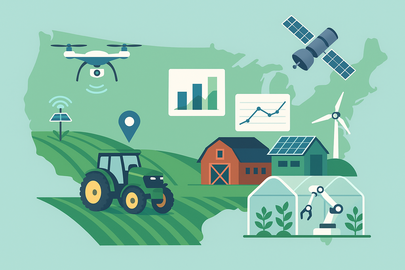
A suitcase-sized instrument that listens to cosmic rays is quietly changing how farms see water in soil. Cosmic-ray neutron sensing, once confined to hydrology research, is moving into orchards, vineyards, row crops, and rangeland as a field-scale gauge for irrigation timing and water accounting. By measuring how naturally produced neutrons are moderated by hydrogen atoms, these sensors infer soil moisture across several hectares in near real time—no digging, no probes, and no overreliance on a single point in a field.
Why farmers are looking beyond traditional soil probes
Conventional soil moisture tools are either local or global. In-ground probes give precise data at a single spot but can miss variability across the block—especially in heterogeneous soils or where emitters and traffic patterns create patchy wetting. Satellite products cover large areas but struggle with canopy interference, coarse resolution, or revisit gaps just when a hot, windy spell hits. Cosmic-ray neutron sensors (CRNS) bridge the scale gap: they average the topsoil’s moisture over a circular footprint typically spanning tens of acres, updating every few minutes. That makes them particularly useful for irrigation scheduling, variable-rate irrigation (VRI) zone validation, and water-use reporting.
How it works, in plain language
High-energy cosmic rays constantly strike the atmosphere and generate secondary particles, including fast neutrons that rain down toward Earth. When these neutrons encounter hydrogen atoms near the surface—mainly in water—they lose energy. A CRNS station counts how many fast neutrons remain. Fewer counts mean more hydrogen, which usually means wetter soil. The relationship is well established in hydrology: after site-specific calibration, the count rate translates to volumetric water content.
Several practical details matter:
- Footprint: The sensor averages roughly a 100–300 meter radius around the station. The exact footprint changes with air humidity, pressure, and terrain.
- Depth: It senses an effective depth that is shallower when soil is wet (often decimeters) and deeper when it is dry, because neutrons penetrate farther in drier conditions.
- Corrections: Readings are adjusted for barometric pressure, humidity, and cosmic ray intensity variations. Biomass water in dense canopies also adds hydrogen and may require a seasonal correction.
- Safety: CRNS is a passive detector. It does not emit radiation; it only counts neutrons produced naturally in the atmosphere.
What the instrument “sees” in a field
Think of a CRNS as a gentle, continuous audit of a block’s water status. After a drip or pivot event, the count rate drops as the soil wets, then climbs back toward a setpoint as plants transpire and the soil dries. Because the footprint integrates small wet and dry patches, the signal is a stable indicator of field-average conditions:
- Under sprinklers or pivots: The footprint reflects the uniform wetting pattern, helping confirm distribution uniformity and fine-tune runtime.
- Under drip: Wetting is localized. The footprint still responds, but the sensor averages over both wetted bands and inter-row dry zones. Pairing CRNS with knowledge of emitter layout or zone maps improves interpretation.
- After rainfall: CRNS captures infiltration and drying cycles without saturating the sensor or requiring physical access to muddy fields.
- During heat waves: The smoothed, field-scale curve helps avoid overreacting to noisy point readings, reducing the risk of yo-yo irrigation.
From counts to decisions
Turning neutron counts into irrigation actions involves four steps:
- Initial calibration: Install the station, then collect a small set of soil samples across the footprint during different moisture states. Laboratory or reliable field methods establish the relationship between counts and volumetric water content for that site.
- Set thresholds: Translate agronomic guidelines—such as allowable depletion, phenology-specific setpoints, or regulated deficit irrigation targets—into soil moisture thresholds at the CRNS scale.
- Integrate with control: Feed moisture estimates and rate-of-change into irrigation software, VRI prescriptions, or a simple runtime calculator. The sensor’s stability makes it good for anchoring schedules while point probes or plant-based sensors provide localized nuance.
- Monitor and refine: Adjust for seasonal biomass, verify with a few spot checks, and update setpoints as crop load or weather shifts.
Deployment and operations
Stations are typically tripod- or post-mounted 1–2 meters above ground, with a small electronics enclosure, detector tube(s), and a weather mast. A solar panel and battery often suffice for year-round power, and data transmit via cellular or farm radio. Installation avoids large metal structures, buildings, or water bodies within the core footprint to reduce bias. Routine tasks include keeping panels clean, checking desiccants, verifying power, and applying manufacturer-recommended calibration checks at season start.
How it compares to other moisture data
- Versus in-ground probes: CRNS is less sensitive to micro-variability and installation artifacts, and it captures the “big picture” response to irrigation and weather. It cannot resolve root-zone layering or pinpoint a dry spot from a clogged emitter; probes shine there.
- Versus satellites: CRNS works under clouds, through canopies, at farm-relevant scales, and offers minute-to-hourly updates. Satellites add landscape context and multi-farm benchmarking.
- Best in combination: A common stack is CRNS for block-scale setpoints, a few probes for depth profiles in representative zones, and remote sensing for spatial scouting.
Use cases on the ground
- Precision irrigation: Align runtime to a block-scale moisture window and verify whether deficits are accumulating as intended.
- VRI verification: Validate whether zone prescriptions are converging toward similar moisture trajectories, reducing over- and under-watering.
- Water accounting: Estimate evapotranspiration and soil water storage changes to support reporting, recharge projects, or on-farm trials.
- Drought resilience: Track how quickly fields dry after storms and prioritize limited water across blocks.
- Rangeland and dryland: Manage stock rotations and planting windows using objective, field-scale moisture cues.
Costs and returns
A stationary CRNS station is typically a low five-figure capital purchase, with modest ongoing costs for power, connectivity, and periodic calibration support. Growers who irrigate large blocks or face tight allocations often justify the investment through:
- Water savings and stability: Avoiding “insurance” overwatering and reducing runoff or deep percolation.
- Energy and labor: Fewer unnecessary sets, better runtime targeting, and less time chasing noisy single-point alarms.
- Crop outcomes: More consistent stress management during critical growth stages.
- Compliance and reporting: Credible, continuous records of soil water status and changes.
Several suppliers now offer seasonal rentals, service bundles, or “data-as-a-service” options that lower upfront costs, and some water agencies or research-extension programs provide pilots to de-risk adoption.
Limitations and how to manage them
- Localized irrigation (drip, microsprinklers): Because CRNS averages wetted and dry zones, pair it with irrigation layout maps or supplement with a small number of probes to interpret wetting fraction.
- Biomass and hydrogen sources: Lush canopies, surface organic mulches, or snow can alter counts. Apply biomass/snow corrections from the vendor or extension guides.
- Salinity and hydrogen in compounds: High salinity affects neutron moderation much less than water does, but unusual materials in the footprint (e.g., large water tanks) should be avoided.
- Complex topography or non-uniform soils: If slopes or soil types vary significantly within the footprint, consider two stations or use a cosmic-ray “rover” survey to map patterns and choose siting.
- Absolute accuracy: Expect robust relative changes day to day. For absolute soil moisture, invest in good initial calibration and occasional ground-truthing.
What’s new: rovers, fusion, and automation
Several developments are making CRNS more practical on commercial farms:
- Rover mapping: Vehicle-mounted detectors can survey neutron counts across large areas, producing soil moisture maps that guide where to place stationary stations and how to draw irrigation zones.
- Sensor fusion: Software increasingly blends CRNS with satellites, weather, and in-ground probes using data assimilation, delivering both field-average truth and sub-field spatial estimates.
- Closed-loop irrigation: Some control platforms now accept CRNS-derived setpoints, moving toward automated schedules that adjust to weather and phenology without daily human tweaks.
- Edge processing and alerts: Onboard firmware applies pressure and humidity corrections and pushes ready-to-use moisture values and rate-of-change alerts to dashboards.
Getting started: a practical checklist
- Identify a representative block with minimal buildings or large water bodies in the core footprint.
- Coordinate with your irrigation manager on how CRNS thresholds will translate into runtime changes.
- Plan a short calibration campaign with 6–12 soil samples spanning wet to dry states.
- Integrate the data feed into your existing farm platform or VRI software.
- Spot-check with one or two probes and update thresholds mid-season as canopy and demand change.
The bottom line
Cosmic-ray neutron sensing gives growers a stable, field-scale lens on soil moisture that complements the precision of in-ground probes and the breadth of satellites. In water-limited regions and large, variable fields, that middle view can be the difference between guessing and knowing—especially when every irrigation set, and every acre-inch, counts.