The Soil-Moisture Blind Spot
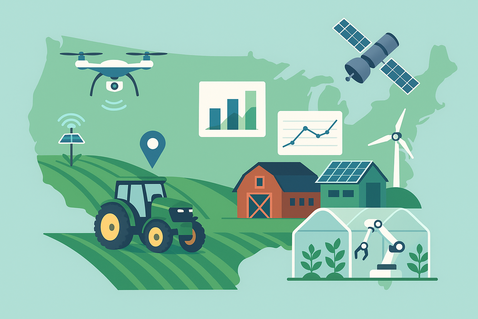
Modern agriculture is rich with data, yet one variable still trips up even the most advanced operations: field-scale soil moisture. Point sensors tell you what’s happening at a stake in the ground. Satellites see a wide area but struggle to resolve the root zone at farm-relevant scales. Between those two sits a large blind spot that farmers experience every season—how much water is truly available to crops across the whole field, today, at a depth that matters for roots.
A technology known as cosmic-ray neutron sensing (CRNS) is quietly closing that gap. It offers continuous, field-scale measurements of soil moisture over tens of hectares, providing a high-resolution picture of the water status that is large enough to drive irrigation decisions yet grounded enough to reflect what roots actually experience.
How Cosmic-Ray Neutron Sensing Works
From Space to Soil
High-energy cosmic rays constantly strike Earth’s atmosphere, producing cascades of fast neutrons that reach the surface. When these neutrons encounter hydrogen atoms at or near the ground, they slow down. Since water is the dominant source of hydrogen in soils and vegetation, the number of fast neutrons near the surface is inversely related to how wet the landscape is. CRNS instruments simply count those neutrons and convert the counts into volumetric soil moisture.
Footprint and Depth
A single stationary sensor measures an area with a footprint radius typically between 150 and 240 meters (roughly 7–18 hectares, depending on humidity and conditions). The effective measurement depth changes with moisture: in drier conditions neutrons probe deeper (often 20–30 cm), and in wetter conditions shallower (often 10–20 cm). That range aligns well with the active root zone for many crops during critical growth stages.
Turning Counts into Moisture
To translate neutron counts into soil moisture, the device applies corrections for atmospheric pressure, humidity, and variations in incoming cosmic-ray intensity. A site-specific calibration—typically a small campaign of gravimetric soil samples taken around the footprint—is used to anchor the conversion. Corrections for aboveground biomass are also applied because stems and leaves contain hydrogen, which influences the neutron signal as a crop grows.
Why It Matters for Agriculture
Field-Scale Truth for Irrigation Scheduling
Because CRNS integrates moisture over a whole field, it provides a stable, representative signal that reflects mixed soils and micro-topography without needing dozens of probes. That makes it valuable for scheduling irrigations, particularly in systems where over- or under-watering carries steep penalties for yield, quality, or input costs.
Variable-Rate Irrigation, Simplified
Variable-rate irrigation (VRI) depends on knowing where and when to vary application. CRNS data, combined with field zones or mobile mapping, helps identify sections that are lagging or saturating. It can be used to set thresholds for trigger points and to verify that irrigation events actually moved soil moisture into the target range across the footprint.
Drought Readiness and Risk
CRNS reveals how quickly fields dry down after rainfall or irrigation, helping managers anticipate stress before it shows up in crop condition or yield. For insurers, water managers, and cooperatives, the area-averaged signal provides an objective indicator for drought monitoring at the farm scale—more granular than regional drought maps, less noisy than point measurements.
Inside the Hardware
Most CRNS installations pair a moderated neutron detector with a weatherproof enclosure, a small solar power system, and a cellular or long-range radio link. The detector itself is optimized to count fast neutrons while filtering out thermal ones, which are less informative for soil moisture. The system logs raw counts every few minutes and applies standard corrections before pushing data to the cloud or a local controller.
Networks and Deployments
The method is not theoretical—there are mature networks operating around the world. Long-running deployments have demonstrated reliability across climates and cropping systems, from row crops and orchards to rangelands and mixed farms. Beyond fixed stations, mobile “rover” units can be mounted on a vehicle to map moisture across large acreages in a day, tying the area-averaged signal to spatial variability that VRI systems can exploit.
National and regional networks have also emerged, providing open or shared datasets to growers, consultants, and researchers. These long-term records support water budgeting, model calibration, and benchmarking from field to watershed.
Data Fusion: Satellites, Models, and Machines
The sweet spot for CRNS is integration. Satellite missions that sense surface moisture over broad areas offer frequent revisits but coarser resolution and shallower penetration. CRNS complements those views by anchoring the root-zone picture at the field scale. When assimilated into soil-water balance models, the combined system tracks infiltration and depletion day by day with far less drift than models alone.
Machine learning approaches are increasingly used to refine biomass corrections and to fuse CRNS with weather forecasts, evapotranspiration estimates, and local sensor networks. The result is a practical decision-support layer: a daily estimate of plant-available water by zone, with confidence bounds robust enough to drive irrigation set points.
Costs, ROI, and Business Models
A CRNS installation is typically more expensive than a handful of point probes but considerably cheaper than blanketing a field with sensors. Farmers approach the economics in a few ways:
- Direct purchase for large blocks or high-value crops where irrigation is a major cost driver.
- Service subscriptions through agronomy firms or water districts that deploy and maintain sensors across many farms.
- Cooperative models where a single station serves multiple neighboring fields with similar soils.
Return on investment comes from tighter irrigation scheduling, reduced pumping and energy costs, improved yields or quality, and fewer stress-related interventions. In practice, many users treat CRNS as the “truth meter” that calibrates zones, tunes models, and validates decisions made from other data feeds.
Limitations and Practical Pitfalls
- Calibration is essential. A brief but careful gravimetric sampling campaign at installation pays off later in accuracy.
- Biomass and snow matter. Both contain hydrogen and must be accounted for; standard algorithms help, but site awareness improves results.
- Siting requires thought. Large water bodies, buildings, or paved areas inside the footprint can bias readings. Place the sensor where the representative crop and soil dominate.
- Mixed management complicates interpretation. If the footprint straddles different crops or irrigation regimes, consider a second sensor or a rover survey to separate signals.
- It’s an average. For precise localized control (e.g., drip laterals), pair CRNS with zone maps and a few strategically placed point sensors.
What’s New: Smaller, Smarter, More Mobile
Recent advances have focused on making CRNS more accessible and adaptive:
- Compact, lower-power detectors that are easier to deploy and network at scale.
- Rover mapping integrated with GNSS and field boundaries, enabling seasonal moisture baselines and rapid post-storm assessments.
- Automated biomass correction using crop growth models and canopy sensing, reducing manual inputs during fast-changing phenology.
- Open-source processing pipelines that standardize corrections and make data easier to ingest alongside weather, imagery, and controller logs.
Getting Started on the Farm
- Define the decision. Is the goal to schedule irrigations, validate VRI zones, or benchmark water use over a season? That guides siting and setup.
- Choose a representative location. Avoid edges, roads, or ponds inside the footprint. Ensure reliable solar exposure and connectivity.
- Plan a short calibration campaign. Collect a small set of soil samples across the footprint at installation to anchor the counts-to-moisture conversion.
- Connect to your workflow. Feed the data into an irrigation scheduler, dashboard, or controller logic alongside weather and ET estimates.
- Ground-truth periodically. A few quick field checks during the season improve confidence and help interpret anomalies.
The Bottom Line
CRNS brings a missing layer of clarity to water management: a stable, field-scale view of how much moisture crops actually have to work with. By bridging the gap between point sensors and satellites, it turns irrigation from a best guess into a measured practice—saving water and energy while safeguarding yield. As detectors get smaller and data tools slicker, expect more farms to treat cosmic rays not as a curiosity from space, but as a daily instrument on the ground.